Project
Community
News
My App
My maps
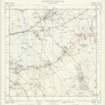
SU28 - OS 1:25,000 Provisional Series Map
1938
Ordnance Survey
1:25k
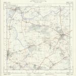
SU18 - OS 1:25,000 Provisional Series Map
1938
Ordnance Survey
1:25k
Berkshire XII - OS Six-Inch Map
1876
Ordnance Survey
1:11k
Berkshire XVIII - OS Six-Inch Map
1878
Ordnance Survey
1:11k
Wiltshire XVI - OS Six-Inch Map
1878
Ordnance Survey
1:11k
Wiltshire XXIII - OS Six-Inch Map
1885
Ordnance Survey
1:11k
Swindon
1818
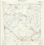
SU29 - OS 1:25,000 Provisional Series Map
1955
Ordnance Survey
1:25k
SU19 - OS 1:25,000 Provisional Series Map
1956
Ordnance Survey
1:25k
Berkshire VII - OS Six-Inch Map
1910
Ordnance Survey
1:11k
History
Old maps of Swindon
Discover the past of Swindon on historical maps
Old maps of Swindon
Discover the past of Swindon on historical maps
Explore Maps
Discover History
Parent places
South West England
Related places