Maps
History
Project
Community
My maps
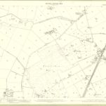
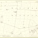
Kincardine, Sheet VIII.6 (Banchory Devenick) - OS 25 Inch map
1865
Ordnance Survey
1:3k
Kincardineshire, Sheet 011.02 - 25 Inch Map
1902
Ordnance Survey
1:3k
Kincardineshire, Sheet 011.03 - 25 Inch Map
1902
Ordnance Survey
1:3k
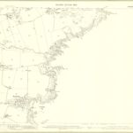
Kincardine, Sheet VIII.10 (with inset VIII.14) (Banchory Devenick) - OS 25 Inch map
1865
Ordnance Survey
1:3k
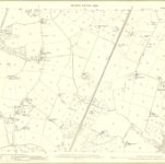
Kincardine, Sheet VIII.5 (Banchory Devenick) - OS 25 Inch map
1865
Ordnance Survey
1:3k
Kincardineshire Sheet XI.NW - OS 6 Inch map
1902
Ordnance Survey
1:11k
Kincardineshire, Sheet VIII - OS 6 Inch map
1865
Ordnance Survey
1:11k
Kincardineshire, Sheet 011.06 - 25 Inch Map
1902
Ordnance Survey
1:3k
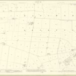
Kincardineshire, Sheet 007.14 - 25 Inch Map
1923
Ordnance Survey
1:3k
Kincardineshire, Sheet 007.14 - 25 Inch Map
1902
Ordnance Survey
1:3k
History
Old maps of Portlethen
Discover the past of Portlethen on historical maps
Old maps of Portlethen
Discover the past of Portlethen on historical maps
Explore Maps
Discover History
Parent places
Aberdeenshire
Related places