Project
Community
News
My App
0
My maps
Maps of Uddingston
Advanced search
All
Private
Favorites
Printable
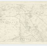
Lanark, Sheet XI.7 (with inset XI.3) (Blantyre) - OS 25 Inch map
1859|Ordnance Survey
1:2 500
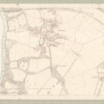
Lanark, Sheet XI.3 (Bothwell) - OS 25 Inch map
1859|Ordnance Survey
1:2 500
Lanark, Sheet XI.2 (Combined) - OS 25 Inch map
1859|Ordnance Survey
1:2 500
Lanark, Sheet XI.2 (Old Monkland) - OS 25 Inch map
1859|Ordnance Survey
1:2 500
Lanarkshire, Sheet XI - OS 6 Inch map
1859|Ordnance Survey
1:10 560
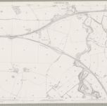
Lanark, Sheet XI.7 (Bothwell) - OS 25 Inch map
1859|Ordnance Survey
1:2 500
Lanark, Sheet XI.6 (Combined) - OS 25 Inch map
1859|Ordnance Survey
1:2 500
1600
1650
1700
1750
1800
1850
1900
1950
2000
History
Old maps of Uddingston
Discover the past of Uddingston on historical maps
Old maps of Uddingston
Discover the past of Uddingston on historical maps
Explore Maps
Discover History
Parent places
Glasgow City Council
Related places
© MapTiler
© OpenStreetMap