

Mapas de Ereymentau
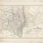 Karte vom URAL GEBIRGE1837|Berghaus, Heinrich Karl Wilhelm1:2 000 000
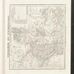 Tatarie et Turkistan1844|Hellert, J.J.
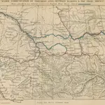 The Siberian overland route from Peking to Petersburg, through the Deserts and Steppes of Mongolia, Tartary, etc. [With maps and illustrations.]1864|MICHIE, Alexander.
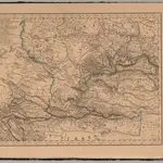 West Siberia.1833|Mahlmann, H.1:6 400 000
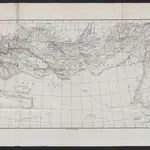 Karte der Reichsgrenze zwischen Russland und China18741:8 500 000
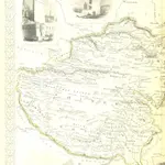 The British Colonies; their history, extent, condition, and resources1851|MARTIN, Robert Montgomery.
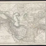 Iran und Turan oder Persien, Afghanistan, Belutschistan & Türkestan1869|Stieler, Adolf
1600
1650
1700
1750
1800
1850
1900
1950
2000


Mapas antiguos de Ereymentau
Descubra el pasado de Ereymentau en mapas históricos
Mapas antiguos de Ereymentau
Descubra el pasado de Ereymentau en mapas históricos
En busca de un Google Maps API Alternativa?